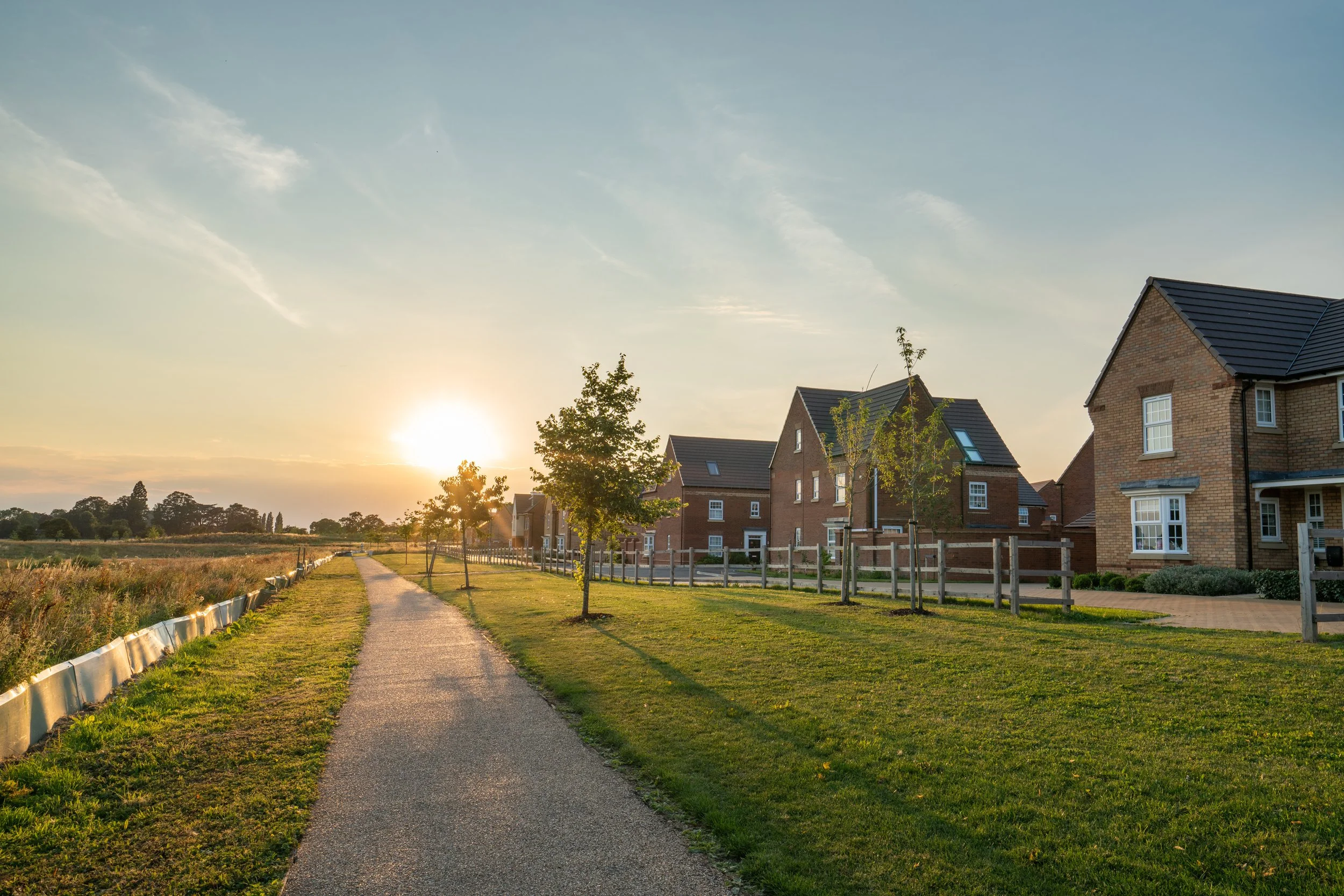
The Site
The Site measures approximately 1.84ha and is within the village of Hartlebury. It is bound by agricultural land and the A449 to the east, existing residential dwellings to the north and south, and Worcester Road to the west.
The Site is generally free of any on-site physical constraints. It is not susceptible to flooding, is not designated for its wildlife or ecological importance, and does not contain any known, designated or non-designated heritage or archaeological assets. The Site is also not within any Conservation Area or National Landscape. The Site does, however, fall within the Green Belt.
The Site is well located to access the range of services available in the village, and there are also bus stops on Worcester Road on which serve the 303 service which provides frequent accessibility between Worcester and Kidderminster.
Local Plan
The South Worcestershire Development Plan (SWDP) was adopted in February 2016. It identifies Hartlebury as a Category 1 Village in the Settlement Hierarchy (Policy SWDP 2) reflecting its level of services, facilities and public transport accessibility.
Policy SWDP 2 C defines Development Boundaries within which development is supported in principle, with land falling outside the Development Boundaries considered open countryside where development is to be strictly controlled and limited to development specifically permitted by other SWDP policies, including SWDP 16: Rural Exception Sites. Land off Worcester Road, Hartlebury is outside but directly adjacent to the Development Boundary for Hartlebury as defined by Policy SWDP 2 C.
Policy SWDP 2 E seeks to maintain the Green Belt and defers to national policy with regard to assessed development proposals within the Green Belt.
The SWDP is currently under review with a view to providing an updated plan up to 2041, including updates to the Spatial Strategy, policies for the future development of the South Worcestershire area and additional site allocations which will provide for the development needs of the area up to 2041.
The SWDP Review is seeking to retain Hartlebury’s status as a Category 1 Village, with minor revisions also proposed to Hartlebury’s Development Boundary, none of which impact the Site.
Housing Need
There is a shortfall in housing land in Wychavon; the Council’s latest published Housing Land Supply position is 1.1 years housing supply as of April 2024, published January 2025.
As such, the “tilted balance” set out in the National Planning Policy Framework applies and planning permission should be granted unless the development would impact areas or assets of particular importance, or any adverse impacts of doing so would significantly and demonstrably outweigh the benefits.
Furthermore, there is a significant shortfall in affordable housing in Wychavon and specifically in Hartlebury, with more than 2,600 households on the Council’s Housing Register in June 2025 of which 468 specified Hartlebury as a preferred location of choice. 96 affordable homes were delivered in Wychavon in the 2024 monitoring year, the lowest number for 10 years. This will have no doubt contribute further to the long waiting times for affordable homes which ranges on average from between 18 months to more than two years in the District currently.
Green Belt
The Site falls within the Green Belt which is generally protected from development in the NPPF (National Planning Policy Framework, December 2024).
However, the NPPF identifies limited affordable housing for local community needs as not inappropriate in the Green Belt. It also supports development of Grey Belt land which is land within the Green Belt does not strongly contribute to any of Green Belt purposes (a), (b), or (d) set out in NPPF Paragraph 143, and there is a demonstrable unmet need for the development, it would be in a sustainable location, and the ‘Golden Rules’ relating to affordable housing provision, necessary improvements to infrastructure, and the provision of new or improvements to existing green spaces that are accessible to the public are met.